Modeling Cascadia

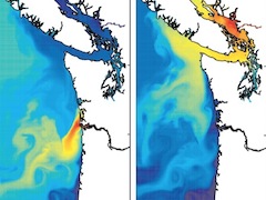
The Cascadia model from the Univ of Washington Coastal Modeling Group is a realistic 3D model, implemented in ROMS, of the North American Pacific Northwest coast from mid-Oregon to mid-Vancouver Island, including the inland waters of the Salish Sea. It was developed as part of the NSF/NOAA PNWTOX (Pacific Northwest Toxins) project, based on previous … Read more

Connectivity among rivers and subbasins of Puget Sound

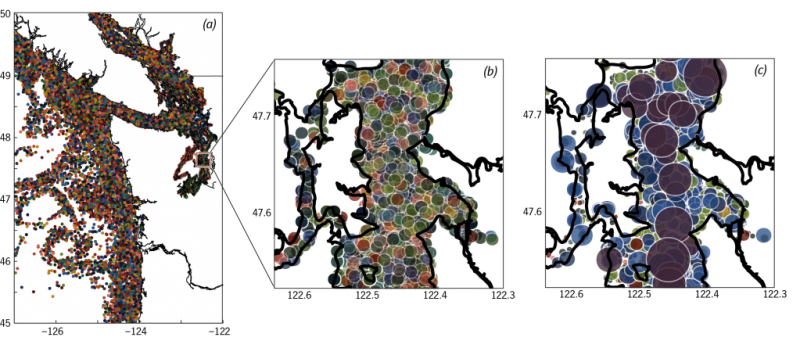
Compared with most large, temperate estuaries, the biogeochemistry of Puget Sound is highly marine dominated: 70% of dissolved nutrients come from the Pacific. Nevertheless, there’s significant policy and management interest in understanding watershed contributions of environmental stressors, e.g. nutrient loading in relation to hypoxia, and pathogen and pollutant impacts on commercial, recreational, and tribal shellfish … Read more

flowWeaver: Visualizing the circulation of the Pacific Northwest coast

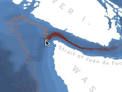
flowWeaver is an interactive tool for exploring transport and connectivity patterns in high-resolution ocean models such as ROMS. The initial application (version 0.4.3) contains two weeks of Salish Sea and Pacific Northwest coastal circulation during summer 2005. The underlying ocean model is MoSSea (Modeling the Salish Sea). Pablo Otero has adapted flowWeaver for an operational … Read more

Rain and Flow (Blindfold Gallery, 2012)

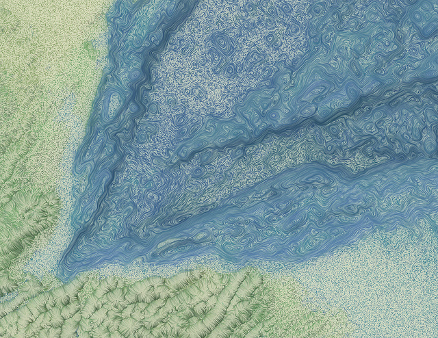
The Blindfold Gallery (Seattle) showed a selection of work from the Pond and Rain series in spring 2012. Most pieces from the show are in this flickr gallery. My artist statement is below, and I expanded on some of it in this interview with SeattleArtBloc. Artist Statement I’m an oceanographer. I work with computer models … Read more